
Lake Facts
| Spear | |
|---|---|
| DNR ID/ Becker No | MN 03-0400-00/579 |
| Township(s) | Lake Eunice |
| Lake Classification | Natural Environment |
| Ordinary High-Waterline (OHW) | Not recorded |
| Size | 67.6 Acres |
| Maximum Depth | 28' |
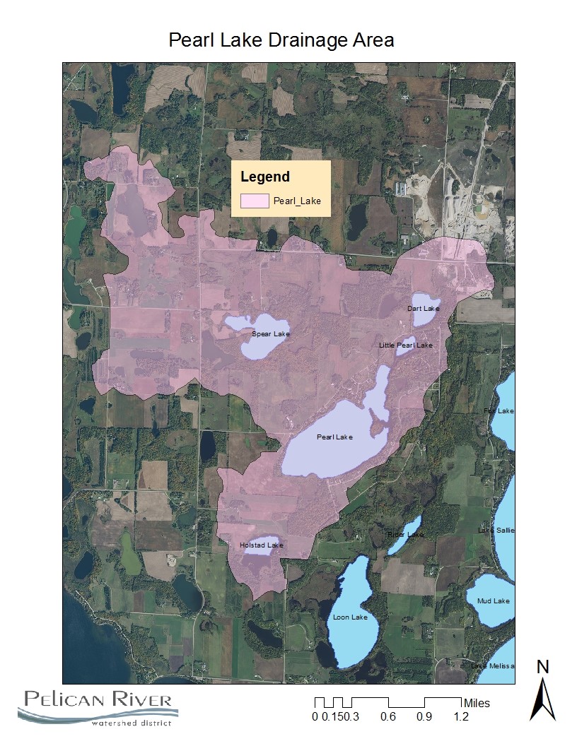
| Watershed Area | (Pearl Watershed) 3534 acres |
| Impairment Listings | none listed |
| Common Fish Species | unknown |
| Invasive Species | None listed |
| Public Access/Beaches | None |
| Land Use | (Pearl Watershed Area) 24.0% Open Water 5.1% Developed 6.0% Wetlands 14.8% Cultivated Crops 30.2% Forest 20% Grassland |
Map
Lake Description & Overview
Spear Lake is located on the Western boundary of the District. Not much is known about the lake due to its small size and lack of surface connection to other District waters. The shoreline is undeveloped except one parcel on the North end of the lake. The rest of the lake has a healthy natural buffer around the shoreline. No public accesses are present on the lake. The District will assess the health of the lake as part of the 2020-2030 Monitoring Plan.
Water Quality
Spear
Learn More
DNR Lakefinder
Get information on water levels, fish stocking, and water clarity for Spear.
MPCA Surface Water Data
Find historical lake and stream water quality data for Spear.
Goals
Short Term Goals – Year 2025
- Maintain a 5-year mean summer phosphorus concentration at or below 30 µg/L
- Maintain mean summer Secchi depth no less than 9 ft
Long Range Goals – Year 2035
- Maintain a 5-year mean summer phosphorus concentration at or below 30 µg/L
- Maintain mean summer Secchi depth no less than 9 ft
Studies & Surveys
Future Surveys as part of 2020-2030 Monitoring Plan
Water Quality- 2025
Past Surveys
Water Quality – 2020
Shoreline Survey – 2019
For more studies and surveys, see the Pearl-Loon Water Management Area.