Otter Tail Watershed Restoration and Protection Strategies (WRAPS)

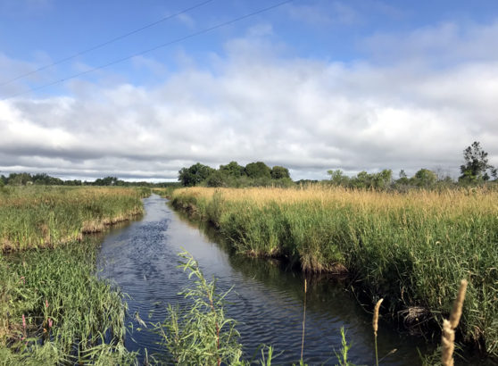
The Otter Tail watershed encompasses three different ecoregions, covering 1,249,541 acres. The southwest portion of the watershed, the mouth of the watershed, is located in the Red River Valley ecoregion. The northeast portion of the watershed, the headwaters of the watershed, is in the Northern Lakes and Forests ecoregion. The majority of the watershed found between these two areas is characterized by the North Central Hardwood Forest ecoregion. The eastern three-fourths of the watershed contains thousands of lakes and wetlands. The watershed is a drainage basin of the Red River and the major tributaries of the watershed are the Otter Tail and Pelican Rivers. The headwaters of the Red River are considered to be where the Otter Tail River joins the Bois de Sioux River. The majority of the lakes in the greater Red River Basin are found in this watershed.
Assessment estimates indicate 2,241 farms in the watershed. Approximately 51% of the operations are less than 180 acres in size, 39% are from 180 to 1,000 acres in size, and 11% of the farms are equal to or greater than 1,000 acres in size.
Of all of the watersheds in the Red River Basin, the Otter Tail River watershed is one of the least impacted by flooding. Annual average flood damage in the watershed is estimated at $457,784 (in 1996 dollars) with 99% of the damage being rural.
Resource Concerns
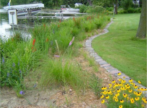
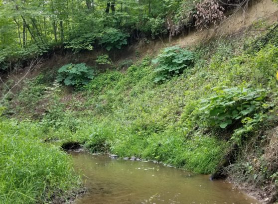
The main resource concerns in the watershed are wind and water soil erosion, wetland management, surface water quality, stormwater runoff, and wildlife habitat. Many of the resource concerns relate directly to changing land use and increased development in the region, resulting in fragmentation and increased sediment/pollutant (mercury, excess nutrients) loadings to surface waters. A significant portion of the land within this watershed is considered highly erodible, or potentially highly erodible. Land use within the watershed is largely agricultural, accounting for approximately 45% of the overall watershed acres. Development pressure is moderate to considerable in some areas, with occasional farms, timberland, and lakeshore being parceled out for recreation, lake, or country homes.\
Monitoring and Assessment
Intensive watershed water quality monitoring was conducted by the MN Pollution and Control Agency in 2016. A monitoring and assessment report was drafted in 2018. A Stressor Identification report was completed for streams in 2019. Realtime flow monitoring was installed at three locations in the watershed.
Strategy development for restoration and protection
A Watershed Restoration and Protection Strategies (WRAPS) project started in 2019 and completed in 2021. The St. Clair Lake TMDL Report was completed in 2016. The Pelican River Watershed District sponsored and managed the TMDL study and provided funding. In addition, the city of Detroit Lakes partnered with the MPCA and watershed district on the report. The purpose of the St. Clair Lake TMDL Report is to address the excess nutrients, particularly phosphorus, in the lake, and to provide pollutant reductions that will be needed to help restore the lake and to protect downstream waters from further pollution.
For more Information on the Otter Tail WRAPS Study